
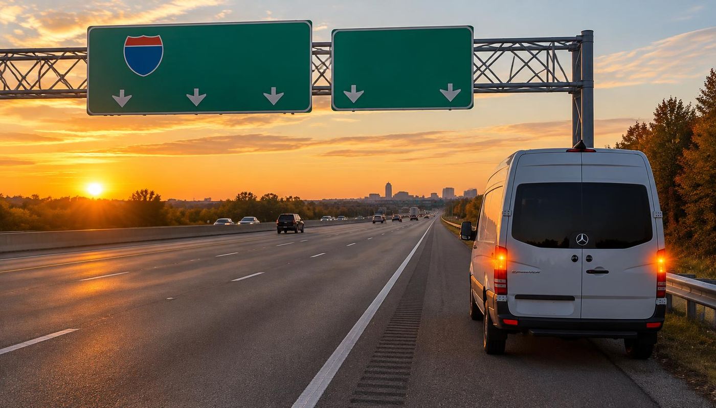
US-17 roadside assistance in De Leon Springs, FL
US-17 runs right through De Leon Springs, passing less than a mile from the middle of town. That makes US-17 one of the roads De Leon Springs drivers count on for trips to De Leon Springs State Park and beyond, and it is why MVP Mobile Tire Shop and Roadside Assistance keeps US-17 roadside assistance in De Leon Springs available day and night.
De Leon Springs is a rural spring community built around a clear swimming spring and its old sugar mill, with farms, fish camps and the Lake Woodruff wildlife refuge nearby. De Leon Springs sits about 16 miles west of Daytona Beach, so US-17 here is one of the links between De Leon Springs and the rest of the Daytona Beach and St. Augustine service area.
Dispatch finds you faster with local detail. De Leon Springs is the small community on US-17 north of DeLand, where SR 11 splits off northeast toward Bunnell and Ponce de Leon Boulevard leads to the state park, so tell dispatch which road you are on and how far from the park entrance. On US-17, add your direction of travel and the nearest crossroad, mile marker or exit.
Finding your spot on US-17 near De Leon Springs
Through and around De Leon Springs, US-17 is a surface highway rather than a freeway, so there are no numbered exits to read off. Name the nearest cross street, business or landmark, such as De Leon Springs State Park or the Old Spanish Sugar Mill pancake restaurant in the park, and say which way you were headed on US-17.
Outside town, many stretches of US-17 near De Leon Springs pass farms, woods and driveways with nothing obvious to point to. The small green mile marker posts on the shoulder, or a pin dropped from your phone, put the technician at the right spot even when the last landmark you remember is Lake Woodruff National Wildlife Refuge.
The distances on this page come from U.S. Census place data and OpenStreetMap road lines: the nearest stretch of US-17 is less than a mile from the middle of De Leon Springs. Road signs always win, so if a sign on US-17 near De Leon Springs State Park reads differently, read it to dispatch exactly as it appears.
Where US-17 runs past De Leon Springs
US-17 runs through Jacksonville from Yulee in Nassau County south through the Northside, through downtown and along Roosevelt Boulevard by Riverside, Avondale and Ortega, then into Clay County through Orange Park and Fleming Island toward Green Cove Springs. Farther south, US-17 reaches Palatka, crosses the St. Johns River on the Memorial Bridge to East Palatka and runs south through Pomona Park, past the CR 309 turnoff to Welaka, and through Crescent City toward DeLand. In Volusia County, US-17 continues south through Seville, Pierson and De Leon Springs, through North DeLand and DeLand, and on through Orange City and DeBary to the St. Johns River bridge toward Sanford. Far to the south, after crossing Central Florida, US-17 reaches its southern end at US-41 in downtown Punta Gorda. From there it follows the Marion Avenue and Olympia Avenue pair east past the Charlotte County Courthouse, runs through Solana to I-75 at exit 164 by Cleveland, where Bermont Road heads east, and continues northeast through ranch country to Arcadia. There it passes Southeast Arcadia and the municipal airport, runs through downtown on Brevard and DeSoto avenues across SR 70, and heads north beside the Peace River past Gardner into Hardee County, through Zolfo Springs, where SR 64 and SR 66 meet it, Wauchula, where it runs as 6th Avenue, and Bowling Green toward Fort Meade. Near De Leon Springs, US-17 runs right through De Leon Springs, passing less than a mile from the middle of town, and the Old Spanish Sugar Mill pancake restaurant in the park is a good landmark to name when you call from this part of US-17.
It meets I-95 and I-295 on the Northside, I-10 near Riverside, I-295 again near Orange Park, Blanding Boulevard, Kingsley Avenue and CR 220 on Fleming Island. Around De Leon Springs, US-17 also ties into SR 11 and Ponce de Leon Boulevard, the roads that lead to De Leon Springs State Park.
Other towns we cover along US-17 near De Leon Springs include North DeLand (6 miles southeast), West DeLand (7 miles south), DeLand (8 miles southeast), DeLand Southwest (8 miles south), Pierson (11 miles northwest) and Lake Helen (12 miles southeast). One dispatch line covers every one of them, so if you break down between De Leon Springs and North DeLand, give the last landmark you passed, Lake Woodruff National Wildlife Refuge or a mile marker, and we work out the rest.
US-17 and the roads of Volusia County
Volusia County is the home of Daytona Beach and Daytona International Speedway, stretching from about 47 miles of Atlantic beach west across I-95 and I-4 to the St. Johns River towns and the fern country of the north end, with DeLand as the county seat. I-95 runs north and south near the coast, I-4 ends at I-95 in Daytona Beach, US-1 follows the mainland shore, US-17 and US-92 serve the west side towns, and SR 40, SR 44 and SR 415 cross the county. US-17 near De Leon Springs is part of that network, and our technicians use it to reach De Leon Springs State Park and the rest of town.
Before you call from US-17, know this about the county: driving is allowed on parts of the Volusia beaches, so soft sand, high tides and salt water catch cars that leave the hard packed lanes. Closer to De Leon Springs, summer weekend crowds park along the roads to the state park, and US-17 and SR 11 have long dark stretches with soft shoulders.
What goes wrong on US-17 near De Leon Springs
These are the problems our technicians prepare for on US-17 around De Leon Springs, not a promise about any one call. It is a signalized arterial for most of its length, with heavy commuter and shopping traffic through Orange Park and fast moving lanes on Roosevelt Boulevard near the Naval Air Station. Near De Leon Springs, the traffic mix is park visitors' cars, kayak and canoe trailers, farm pickups and retirees' cars, and each brings its own tire trouble to US-17.
Heat: Summers on this stretch of the Atlantic coast are hot and humid, with sea breeze thunderstorms building inland most afternoons from June into September, while salt air and blowing sand work on tires, wheels and battery terminals all year. On US-17 near De Leon Springs, hot pavement under an underinflated tire is the classic recipe for a tread separation, and the open lots around the Old Spanish Sugar Mill pancake restaurant in the park hold standing water for hours after a storm.
Storm season: Hurricane season runs from June through November, and storms such as Matthew, Ian and Nicole have flooded the river towns, washed out parts of SR A1A and sent evacuation traffic west on I-4 and north on I-95. When storms threaten, US-17 past De Leon Springs fills up and shops close early, and the busiest weeks on local roads are summer swimming weekends at the spring and the winter months, when visitors come for pancakes at the sugar mill.
Debris: screws, rebar, broken truck tread and storm litter end up in the lanes of US-17. Many punctures in the tread can be repaired if you stop before the tire is driven flat, so if US-17 near De Leon Springs has no safe shoulder, roll slowly to a lot such as one near Lake Woodruff National Wildlife Refuge.
Stopping safely on US-17 in De Leon Springs
Because businesses and side streets line most of US-17, the safest move with a flat is usually to turn into the nearest parking lot instead of stopping in a travel lane. Around De Leon Springs, if the vehicle can still roll slowly, a lit lot near De Leon Springs State Park is safer than the shoulder of US-17. If it cannot move, steer as far right as you safely can, turn on your hazard lights and stay buckled in.
What is the Move Over law in Florida? Since January 1, 2024, it covers disabled vehicles too: drivers must move over a lane for a stopped vehicle showing hazard lights, or slow to 20 mph below the posted limit when they cannot move over. It protects you on US-17 near De Leon Springs, but never count on it. If you must get out, use the side away from traffic, and if you broke down close to the Old Spanish Sugar Mill pancake restaurant in the park, tell dispatch, since that is the easiest place for the technician to find you.
If anyone is hurt, the vehicle is on fire or you are stopped in a travel lane of US-17, call 911 first. From a cell phone in Florida you can also dial *FHP (*347) to reach the Florida Highway Patrol. Then call MVP and say you are on US-17 near De Leon Springs, close to Lake Woodruff National Wildlife Refuge or the last mile marker you saw.
What we fix on the US-17 shoulder near De Leon Springs
Our service vans carry what most US-17 calls need: flat tire repair, spare installation, new and used tire replacement, jump starts, battery replacement, lockouts, fuel delivery and winch outs. Flat tire road service is the most common call. We plug and patch a safe tread puncture, mount your spare and torque the lug nuts, or replace the tire in your size, whether the vehicle is on US-17 or parked near De Leon Springs State Park.
If a vehicle cannot be fixed on site, dispatch arranges a tow from US-17 to your home in De Leon Springs, your mechanic or the shop you choose, including shops in North DeLand and West DeLand. Shops near the Old Spanish Sugar Mill pancake restaurant in the park often close in the evening, so confirm the destination can take the vehicle after hours.
Electric vehicles are heavier than similar gas models, so their tires work harder on US-17. We lift EVs only at the automaker's jack points and install EV rated tires. On the rural stretches of US-17 around De Leon Springs, chargers can be far apart, so tell dispatch the charge level along with your spot near De Leon Springs State Park.
Truck tire repair on US-17 in De Leon Springs
I-95 carries East Coast freight past Daytona Beach, Palm Coast and St. Augustine day and night, and I-4 brings tractor trailers, visitors and commuters from Orlando to the coast at Daytona Beach. US-17 near De Leon Springs carries its share of that traffic, from box trucks serving De Leon Springs State Park to tractor trailers passing through. MVP provides semi truck tire repair on the shoulder of US-17, including steer, drive and trailer positions, repaired where safe or replaced on site. For semis the work is tire service only, not mechanical repairs.
Truck calls from US-17 go faster when the driver shares the unit number, the failed tire position, the size printed on the sidewall and whether the load is time sensitive. For yards and docks around De Leon Springs, whether near Lake Woodruff National Wildlife Refuge or out on SR 11, give the business name, the gate and the parking row, and fleets that run US-17 every day can schedule tire checks at the yard.
Trailers on US-17 through De Leon Springs
Boat trailers launch on the Halifax, Indian and Matanzas rivers, the Mosquito Lagoon at Oak Hill and the St. Johns River lakes near DeLand, campers roll in for race weeks and the beach campgrounds, and motorcycle trailers arrive by the hundreds for Bike Week and Biketoberfest. Plenty of those trips run US-17 past De Leon Springs, often with trailers that sat in the sun for weeks near the Old Spanish Sugar Mill pancake restaurant in the park or in a back pasture, and those are the tires most likely to fail at highway speed.
Salt water from boat ramps eats at trailer wheels, hubs and lug nuts, and trailers parked in the sun near the beach crack their tires long before the tread wears out. We repair and replace horse, livestock, boat, utility, cargo, camper and semi trailer tires where the rig stopped on US-17 near De Leon Springs, or in a lot near De Leon Springs State Park if you can roll there safely. Causeway and bridge approaches over the Halifax and Matanzas rivers leave almost no room to stop, so if a trailer tire fails on a bridge, keep rolling slowly to the end of the span if you safely can.
Before you drive US-17 from De Leon Springs
Check cold tire pressure once a month against the placard on the driver door jamb. A tire running well under its pressure builds heat fast at highway speed on US-17, and that heat is behind most of the blowouts we see. If the tire pressure light comes on, take the next safe turn off, such as a lot near De Leon Springs State Park, before you look.
How long can you drive on a spare tire? A compact donut spare is built for short distances at reduced speed: most are rated for about 50 mph, and many makers suggest no more than about 50 to 70 miles before the flat is repaired or replaced. On US-17 from De Leon Springs, that may get you home or to the Old Spanish Sugar Mill pancake restaurant in the park, but it is not meant for a long run toward DeBary.
Walk around the vehicle before a long trip on US-17. Look for a tire that sits lower than the others, a nail head in the tread or a bulge in the sidewall, and check that the spare holds air and the jack is still aboard. A quick look in the driveway or at Lake Woodruff National Wildlife Refuge prevents many roadside calls.
Questions drivers search about US-17 near De Leon Springs
What should you do if you get a flat tire on the highway? Ease off the gas, keep a firm grip and steer gradually toward the shoulder or the next exit instead of braking hard. On US-17 near De Leon Springs, a wide shoulder or a lot near De Leon Springs State Park is the goal; once stopped, hazards on, seat belt on, then call.
Who do you call for a flat tire on the highway? Call MVP Mobile Tire Shop and Roadside Assistance, 24/7. We come to US-17 near De Leon Springs with the tools and tires to finish most jobs on site, and dispatch quotes the job first, whether you are near the Old Spanish Sugar Mill pancake restaurant in the park or out between towns.
Should you pull off the highway for a flat tire? Get off the travel lanes as soon as it is safe, but a short, slow roll to an exit or a wider spot is better than stopping on a narrow shoulder. Around De Leon Springs, that might mean reaching a turn off near Lake Woodruff National Wildlife Refuge rather than stopping on a bridge or a curve of US-17.
How do you change a flat tire on the highway? Carefully, or not at all. Changing a tire on the traffic side of US-17 is one of the most dangerous jobs a driver can attempt. If the flat is on that side, wait for help: an MVP technician works with lighting and gear to change it, and the De Leon Springs landmark nearest you, De Leon Springs State Park, helps dispatch find you.
Other highways and nearby towns for De Leon Springs
Besides US-17, De Leon Springs drivers use US-92, and each has its own De Leon Springs page with exits, nearby towns and safety tips. The town's own main roads are US-17, SR 11 and Ponce de Leon Boulevard, the routes most callers near De Leon Springs State Park use to reach US-17.
The closest towns to De Leon Springs are North DeLand, about 6 miles southeast, West DeLand, about 7 miles south, DeLand, about 8 miles southeast and DeLand Southwest, about 8 miles south. The same dispatch line covers all of them, so if you are not sure which town you are in on US-17, just share your location.
What US-17 roadside help in De Leon Springs costs
How much does roadside assistance cost? It depends on what is wrong, the vehicle, the tire size if a tire is needed, the time of day and where on US-17 you are. A spare install on a sedan parked near De Leon Springs State Park costs less than a new commercial tire on the shoulder outside De Leon Springs at night, and dispatch explains the difference before you agree.
You get a clear quote by phone or text before a technician heads to US-17, and the price you approve is the price you pay. No tip is added, and if the job near Lake Woodruff National Wildlife Refuge turns out simpler than expected, you pay less.
Save the number before you need US-17 help
The middle of a breakdown on US-17 is the wrong time to search for help. Save the dispatch line now and share it with anyone in your household who drives US-17 to De Leon Springs State Park, especially before summer swimming weekends at the spring and the winter months.
Calls and texts are answered around the clock, nights, weekends and holidays included. Call, text or book online from De Leon Springs, and we will get you back on US-17 and on your way to the Old Spanish Sugar Mill pancake restaurant in the park.
Exit and road data © OpenStreetMap contributors. City locations from the U.S. Census Bureau.