
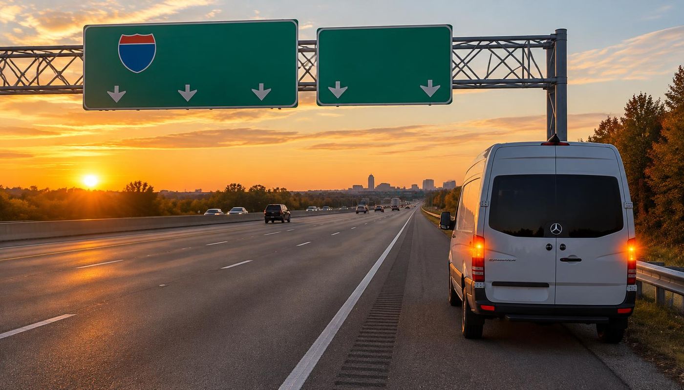
US-98 roadside assistance in Panacea, FL
MVP Mobile Tire Shop and Roadside Assistance sends mobile technicians to US-98 in Panacea, FL, 24 hours a day. US-98 runs right through Panacea, passing less than a mile from the middle of town. If a tire fails, a battery dies or the tank runs dry on US-98 near Panacea or on the way to the Gulf Specimen Marine Lab and Aquarium, call dispatch and a technician comes to you.
Panacea is an unincorporated fishing village on Wakulla County's coast, known for its blue crabs and seafood, the Gulf Specimen Marine Lab and the Blue Crab Festival every spring, with homes and fish houses tucked along the bays. Panacea sits about 31 miles south of Tallahassee, so US-98 here is one of the links between Panacea and the rest of the Tallahassee and Big Bend service area.
Dispatch finds you faster with local detail. Panacea lines US-98, Coastal Highway, along Dickerson Bay and Ochlockonee Bay, with Otter Lake Road heading north into the woods toward the St. Marks refuge, Rock Landing Road leading to the boat ramp and US-319 meeting US-98 a few miles north at Medart, so give the street, the nearest crossroad and whether you are north or south of the Ochlockonee Bay bridge. On US-98, add your direction of travel and the nearest crossroad, mile marker or exit.
Finding your spot on US-98 near Panacea
Through and around Panacea, US-98 is a surface highway rather than a freeway, so there are no numbered exits to read off. Name the nearest cross street, business or landmark, such as the Gulf Specimen Marine Lab and Aquarium or the Ochlockonee Bay bridge on US-98, and say whether you were eastbound or westbound on US-98.
Through Panacea, US-98 is Coastal Highway along Dickerson Bay past seafood restaurants, the marine lab and the boat ramps, and south of town it crosses the long Ochlockonee Bay Bridge toward Carrabelle. Green mile marker posts on the shoulder, the name of the last county road or a pin dropped from your phone put the technician at the right spot, even when the last landmark you remember is Woolley Park on Dickerson Bay.
The crossing to know on US-98 near Panacea is the Ochlockonee Bay Bridge over Ochlockonee Bay on the south side of Panacea, about 3 miles south of the middle of town. It runs about a mile over open water, exposed to the wind off the Gulf, so if a tire goes soft on the bridge, keep rolling slowly to the end if the vehicle can still move, then tell dispatch which end you reached, whether you were eastbound or westbound and whether the Ochlockonee Bay bridge on US-98 was ahead of you or behind you.
The distances on this page come from U.S. Census place data and OpenStreetMap road lines: the nearest stretch of US-98 is less than a mile from the middle of Panacea. Road signs always win, so if a sign on US-98 near the Rock Landing boat ramp reads differently, read it to dispatch exactly as it appears.
Where US-98 runs past Panacea
US-98 follows the Gulf coast into the area from Port St. Joe, crosses the John Gorrie Memorial Bridge from Apalachicola to Eastpoint, runs along St. George Sound through Carrabelle and Lanark Village, crosses the Ochlockonee Bay Bridge into Panacea, meets US-319 at Medart, crosses the St. Marks River at Newport and the Aucilla River into Taylor County and runs through the pine woods to Perry, then south with US-19 through Cross City to the Suwannee River at Fanning Springs. Near Panacea, US-98 runs right through Panacea, passing less than a mile from the middle of town, and the Ochlockonee Bay bridge on US-98 is a good landmark to name when you call from this part of US-98.
In the Tallahassee and Big Bend service area it meets US-319 in Apalachicola, Eastpoint, Carrabelle and Medart, SR 300 to St. George Island and SR 65 in Eastpoint, SR 363 toward St. Marks and Woodville, SR 59 toward Wacissa, US-19, US-27 and US-221 in Perry, SR 51 toward Steinhatchee and CR 351 in Cross City. Around Panacea, US-98 also ties into Coastal Highway, Otter Lake Road and Rock Landing Road, the roads that lead to the Gulf Specimen Marine Lab and Aquarium.
Other towns we cover along US-98 near Panacea include Sopchoppy (6 miles northwest), Crawfordville (12 miles north), St. Marks (15 miles northeast), Carrabelle (20 miles southwest), Eastpoint (34 miles southwest) and St. George Island (39 miles southwest). One dispatch line covers every one of them, so if you break down between Panacea and Sopchoppy, give the last landmark you passed, Woolley Park on Dickerson Bay or a mile marker, and we work out the rest.
US-98 and the roads of Wakulla County
Wakulla County is a fast growing county just south of Tallahassee, with Crawfordville as its seat, Wakulla Springs and its lodge, the St. Marks National Wildlife Refuge and lighthouse, the fishing towns of Panacea and St. Marks, Ochlockonee Bay and the Sopchoppy River, and much of its land inside the Apalachicola National Forest, with Crawfordville as the county seat. US-319 runs north and south through Crawfordville toward Tallahassee and southwest through Sopchoppy, US-98 runs along the coast through Newport, Medart and Panacea and over the Ochlockonee Bay bridge, SR 267 crosses from US-319 to Wakulla Springs and Newport, SR 363 runs south from Tallahassee to St. Marks and SR 61 runs from Tallahassee to Wakulla Springs. US-98 near Panacea is part of that network, and our technicians use it to reach the Gulf Specimen Marine Lab and Aquarium and the rest of town.
Before you call from US-98, know this about the county: US-319 between Crawfordville and Tallahassee carries heavy commuter traffic morning and evening, the coast roads at Panacea and St. Marks flood when storms push the Gulf in, and long stretches through the national forest have no stores, no lights and soft sand shoulders. Closer to Panacea, US-98 through Panacea runs right beside the bay with little room off the road, the Ochlockonee Bay bridge leaves no room to stop, and storm surge floods the highway and the low streets.
What goes wrong on US-98 near Panacea
These are the problems our technicians prepare for on US-98 around Panacea, not a promise about any one call. Along the Forgotten Coast and the Big Bend, US-98 is a quiet two lane coast road most of the year, crowded with visitors headed for St. George Island, Carrabelle and the seafood towns on summer weekends and holidays, and a four lane timber and truck route south of Perry, with log trucks, boat trailers and RVs in every season. Near Panacea, the traffic mix is fishermen's pickups, boat trailers, seafood trucks, visitors' cars and delivery vans, and each brings its own tire trouble to US-98.
Heat: Summers around Tallahassee and the Big Bend are hot and humid, with thunderstorms building over the pine woods and red hills most afternoons from June into September, while winter brings more frosty mornings than the peninsula ever sees, sometimes a hard freeze in the low fields, which drops tire pressure overnight and finishes off tired batteries. On US-98 near Panacea, hot pavement under an underinflated tire is the classic recipe for a tread separation, and the open lots around the Ochlockonee Bay bridge on US-98 hold standing water for hours after a storm.
Storm season: Hurricane season runs from June through November, and the Big Bend has taken a run of direct hits: Michael tore through Gadsden, Liberty and Franklin counties in 2018, Idalia came ashore near Keaton Beach in August 2023, Debby near Steinhatchee in August 2024 and Helene near Perry in September 2024, while tornadoes tore across Tallahassee in May 2024, leaving downed trees and power lines across the roads each time. When storms threaten, US-98 past Panacea fills up and shops close early, and the busiest weeks on local roads are the Blue Crab Festival each spring, fishing and scalloping season, summer beach traffic toward Alligator Point and hurricane season.
Debris: screws, rebar, broken truck tread and storm litter end up in the lanes of US-98. Many punctures in the tread can be repaired if you stop before the tire is driven flat, so if US-98 near Panacea has no safe shoulder, roll slowly to a lot such as one near Woolley Park on Dickerson Bay.
Stopping safely on US-98 in Panacea
On the coast, US-98 runs right beside the water with sand, marsh or seawall where a shoulder should be, and the John Gorrie, Carrabelle River and Ochlockonee Bay bridges leave little room to stop, so if a tire fails, keep rolling slowly off a bridge, turn into a seafood house, boat ramp or store lot if you can, and stay buckled in with the hazard lights on if you cannot move. Around Panacea, if the vehicle can still roll slowly, a lit lot near the Gulf Specimen Marine Lab and Aquarium is safer than the shoulder of US-98. If it cannot move, steer as far right as you safely can, turn on your hazard lights and stay buckled in.
What is the Move Over law in Florida? Since January 1, 2024, it covers disabled vehicles too: drivers must move over a lane for a stopped vehicle showing hazard lights, or slow to 20 mph below the posted limit when they cannot move over. It protects you on US-98 near Panacea, but never count on it. If you must get out, use the side away from traffic, and if you broke down close to the Ochlockonee Bay bridge on US-98, tell dispatch, since that is the easiest place for the technician to find you.
If anyone is hurt, the vehicle is on fire or you are stopped in a travel lane of US-98, call 911 first. From a cell phone in Florida you can also dial *FHP (*347) to reach the Florida Highway Patrol. Then call MVP and say you are on US-98 near Panacea, close to Woolley Park on Dickerson Bay or the last mile marker you saw.
What we fix on the US-98 shoulder near Panacea
Our service vans carry what most US-98 calls need: flat tire repair, spare installation, new and used tire replacement, jump starts, battery replacement, lockouts, fuel delivery and winch outs. Flat tire road service is the most common call. We plug and patch a safe tread puncture, mount your spare and torque the lug nuts, or replace the tire in your size, whether the vehicle is on US-98 or parked near the Gulf Specimen Marine Lab and Aquarium.
If a vehicle cannot be fixed on site, dispatch arranges a tow from US-98 to your home in Panacea, your mechanic or the shop you choose, including shops in Sopchoppy and Crawfordville. Shops near the Ochlockonee Bay bridge on US-98 often close in the evening, so confirm the destination can take the vehicle after hours.
Electric vehicles are heavier than similar gas models, so their tires work harder on US-98. We lift EVs only at the automaker's jack points and install EV rated tires. On the rural stretches of US-98 around Panacea, chargers can be far apart, so tell dispatch the charge level along with your spot near the Rock Landing boat ramp.
Truck tire repair on US-98 in Panacea
I-10 carries freight across the whole area between Jacksonville, Tallahassee and Pensacola, I-75 runs through Hamilton and Suwannee counties toward Georgia, US-19 and US-27 carry the Big Bend route between Tallahassee, Perry and Tampa Bay, and log trucks run every two lane highway between the pine plantations, the Foley pulp mill near Perry and the sawmills. US-98 near Panacea carries its share of that traffic, from box trucks serving the Gulf Specimen Marine Lab and Aquarium to tractor trailers passing through. MVP provides semi truck tire repair on the shoulder of US-98, including steer, drive and trailer positions, repaired where safe or replaced on site. For semis the work is tire service only, not mechanical repairs.
Truck calls from US-98 go faster when the driver shares the unit number, the failed tire position, the size printed on the sidewall and whether the load is time sensitive. For yards and docks around Panacea, whether near Woolley Park on Dickerson Bay or out on Coastal Highway, give the business name, the gate and the parking row, and fleets that run US-98 every day can schedule tire checks at the yard.
Trailers on US-98 through Panacea
Boat trailers launch into Lake Talquin, Lake Jackson, Lake Seminole, Apalachicola Bay, Ochlockonee Bay and the Gulf off Steinhatchee and St. Marks, campers and fifth wheels head for the Suwannee River campgrounds, the music park at Live Oak and the state parks on St. George Island and at Wakulla Springs, and canoe trailers fill the Wacissa, Sopchoppy and Suwannee river landings on summer weekends. Plenty of those trips run US-98 past Panacea, often with trailers that sat in the sun for weeks near the Ochlockonee Bay bridge on US-98 or in a back pasture, and those are the tires most likely to fail at highway speed.
Red clay dust, river and bay water and long summer heat work on trailer hubs, bearings and tires, and trailers parked in a pasture or a yard between trips crack their tires before the tread wears out. We repair and replace horse, livestock, boat, utility, cargo, camper and semi trailer tires where the rig stopped on US-98 near Panacea, or in a lot near the Rock Landing boat ramp if you can roll there safely. The John Gorrie Memorial Bridge, the bridge to St. George Island, the Ochlockonee Bay bridge and the Suwannee and Apalachicola river bridges leave little room to stop, so if a trailer tire fails on a span, keep rolling slowly to the end if you safely can and pull into the first wide lot.
Before you drive US-98 from Panacea
Check cold tire pressure once a month against the placard on the driver door jamb. A tire running well under its pressure builds heat fast at highway speed on US-98, and that heat is behind most of the blowouts we see. If the tire pressure light comes on, take the next safe turn off, such as a lot near the Gulf Specimen Marine Lab and Aquarium, before you look.
How long can you drive on a spare tire? A compact donut spare is built for short distances at reduced speed: most are rated for about 50 mph, and many makers suggest no more than about 50 to 70 miles before the flat is repaired or replaced. On US-98 from Panacea, that may get you home or to the Ochlockonee Bay bridge on US-98, but it is not meant for a long run toward Perry.
Walk around the vehicle before a long trip on US-98. Look for a tire that sits lower than the others, a nail head in the tread or a bulge in the sidewall, and check that the spare holds air and the jack is still aboard. A quick look in the driveway or at Woolley Park on Dickerson Bay prevents many roadside calls.
Questions drivers search about US-98 near Panacea
What should you do if you get a flat tire on the highway? Ease off the gas, keep a firm grip and steer gradually toward the shoulder or the next exit instead of braking hard. On US-98 near Panacea, a wide shoulder or a lot near the Gulf Specimen Marine Lab and Aquarium is the goal; once stopped, hazards on, seat belt on, then call.
Who do you call for a flat tire on the highway? Call MVP Mobile Tire Shop and Roadside Assistance, 24/7. We come to US-98 near Panacea with the tools and tires to finish most jobs on site, and dispatch quotes the job first, whether you are near the Ochlockonee Bay bridge on US-98 or out between towns.
Should you pull off the highway for a flat tire? Get off the travel lanes as soon as it is safe, but a short, slow roll to an exit or a wider spot is better than stopping on a narrow shoulder. Around Panacea, that might mean reaching a turn off near Woolley Park on Dickerson Bay rather than stopping on a bridge or a curve of US-98.
How do you change a flat tire on the highway? Carefully, or not at all. Changing a tire on the traffic side of US-98 is one of the most dangerous jobs a driver can attempt. If the flat is on that side, wait for help: an MVP technician works with lighting and gear to change it, and the Panacea landmark nearest you, the Rock Landing boat ramp, helps dispatch find you.
Is there an accident on US-98 today? Florida's official FL511 service shows current crashes, lane closures and roadwork on US-98 through Wakulla County and the rest of the Big Bend. Near Panacea, one crash on the two lane coast road or on a bay bridge can close the road, and the detours inland are long, so if your own vehicle is the one stopped near Woolley Park on Dickerson Bay, get off the pavement if it can still roll, or turn on the hazards and stay buckled in before you call.
How far is Panacea from Tallahassee? About 31 miles in a straight line, with Panacea south of Tallahassee, and a little farther by road. The same dispatch line covers both towns and every stretch of US-98 near Panacea, so if you break down near the Rock Landing boat ramp or anywhere along US-98, share your spot and help comes to you.
How far is Panacea from Sopchoppy? About 6 miles northwest in a straight line, and a little more by road. Both towns sit on our US-98 coverage, so if you break down between Panacea and Sopchoppy, near the Rock Landing boat ramp or past it, the same dispatch line sends help.
Other highways and nearby towns for Panacea
Besides US-98, Panacea drivers use US-319, and each has its own Panacea page with exits, nearby towns and safety tips. The town's own main roads are US-98, Coastal Highway, Otter Lake Road, Rock Landing Road and US-319, the routes most callers near the Rock Landing boat ramp use to reach US-98.
The closest towns to Panacea are Sopchoppy, about 6 miles northwest, Crawfordville, about 12 miles north, St. Marks, about 15 miles northeast and Carrabelle, about 20 miles southwest. The same dispatch line covers all of them, so if you are not sure which town you are in on US-98, just share your location.
What US-98 roadside help in Panacea costs
How much does roadside assistance cost? It depends on what is wrong, the vehicle, the tire size if a tire is needed, the time of day and where on US-98 you are. A spare install on a sedan parked near the Gulf Specimen Marine Lab and Aquarium costs less than a new commercial tire on the shoulder outside Panacea at night, and dispatch explains the difference before you agree.
You get a clear quote by phone or text before a technician heads to US-98, and the price you approve is the price you pay. No tip is added, and if the job near Woolley Park on Dickerson Bay turns out simpler than expected, you pay less.
Save the number before you need US-98 help
The middle of a breakdown on US-98 is the wrong time to search for help. Save the dispatch line now and share it with anyone in your household who drives US-98 to the Gulf Specimen Marine Lab and Aquarium, especially before the Blue Crab Festival each spring.
Calls and texts are answered around the clock, nights, weekends and holidays included. Call, text or book online from Panacea, and we will get you back on US-98 and on your way to the Ochlockonee Bay bridge on US-98.
Exit and road data © OpenStreetMap contributors. City locations from the U.S. Census Bureau.